There's a block near our apartment in Brooklyn—Hoyt, between State and Atlantic—that becomes a makeshift plaza on summertime weekends. The bars and restaurants along the east side of the street put out chairs and tables, and the street fills with people. Bikes still have a path through, and yes, the eBikes make it a little unpleasant, a little unpredictable, but it's manageable.
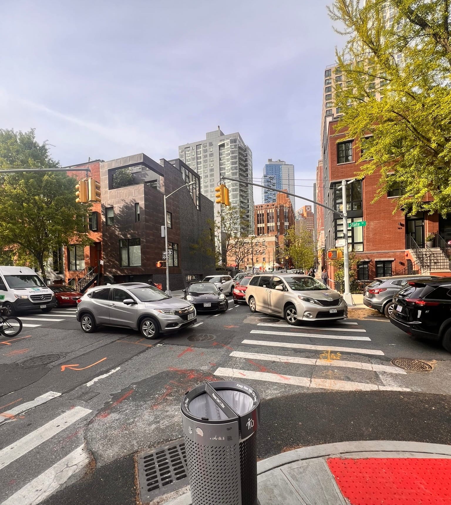
When the block shifts over from normal car right-of-way to insta-plaza on Friday afternoons, traffic backs up. Giant trucks trying to sneak through downtown Brooklyn lay on their horns, solo commuters driving down State to avoid traffic on Atlantic do the same, and neighborhood folks enjoying a cocktail or a Cubano shake their heads.
Two blocks south, the city has put up laminated signs asking for community input on a plan to convert Dean St. and Bergen St. into bike boulevards. Both Dean and Bergen host the B65 bus, and each has a bike lane along at least a portion of their run. As someone who uses Citi eBikes as their primary mode of transportation (less so recently as I've been mostly walking my 3-month-old son around in a carrier, and we do own a car that lives in a garage near BAM), I was thrilled to see that the city was planning to make these streets safer for everyone.
A street that is designed around slower, less massive forms of transit (walking, rolling, being pushed in a stroller, cycling) is safer for everyone. Folks with limited mobility can cross at any point in the block, and generally cross a smaller distance. People who need to park close to their home should find that easier, even if there is less parking overall, because the block will see less car usage. Over time as other transit options become more attractive, perhaps some in the neighborhood who do not truly need a car will give up theirs. When emergency vehicles need to get somewhere they need to go, a street with less traffic will help them get there faster. Heck, anyone with a car will be less likely to injure or kill someone else—ruining many lives in the process—because speeds are limited by infrastructure, rather than signage.
In addition to being safer, it could also just be...nicer.
Perhaps some blocks of Dean or Bergen could turn into something that feels more like a permanent mixed-use plaza, as we see in Manhattan on Broadway, or in Copenhagen's Kartoffelrækkerne (“Potato Rows”). Emily and I happened upon this 11-block sorta-neighborhood, where the middle of each block is a living/play space: some have play sets, some have hopscotch, some have picnic tables where families can eat dinner outside. The blocks definitely still have parking, but it's not the main feature. And there's no need for a bike lane, let alone a protected one, because nothing about the surrounding area suggests that this is a place for cars to go fast.
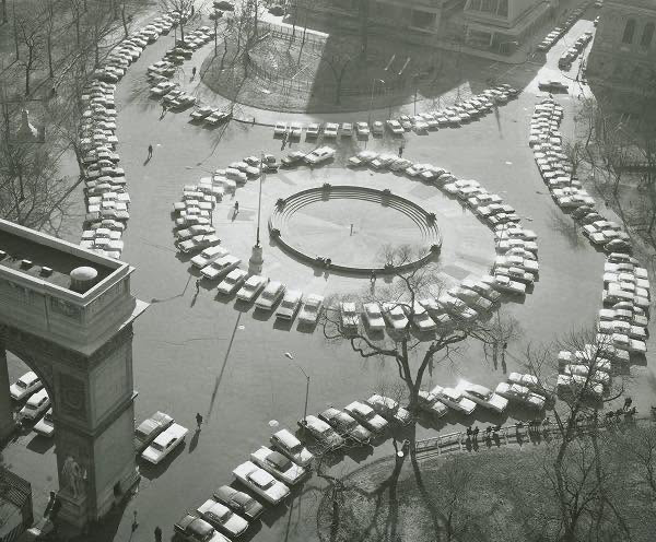
And just to call out two examples from the same two cities, let's not forget that Washington Square Park was once used almost entirely for parking, and Copenhagen's magical Strøget was once similarly choked with cars.
I think some of the pushback to this, and similar plans, is due to a failure of imagination. We can only imagine how much more challenging it would be to not be able to park exactly where we park today, or imagine the frustration that would come from trying to drive the length of Dean Street behind a bunch of cyclists, or imagine navigating temporary or permanent gateways on a block-by-block basis, as we once had in the neighborhood during COVID.
But what if we imagined a street that kept our homes and bodies cooler in the summertime? What if we imagined a street where our children could play without fear? What if we imagined not just having a block party once a year, but having it every weekend, every evening, every morning? Not that this is the point, but what if we imagined a street that made all of our homes, more desirable, more valuable?
I made a tool to help you imagine it, at streets.cpj.fyi.
It uses real NYC data: street and intersection geometry from the NYC Planimetric Database and CSCL street centerlines; building footprints and MapPLUTO; live NYC Parks tree data; DOT speed limits, parking regulations, speed humps and bike routes; and NYPD crash records. I've tried to be sure to cite all the calculations, and if you want to really interrogate it or make your own version, the source is available here.
It's not perfect yet (for example, how do we render parking on Hoyt, given that the signage prevents parking at certain times? still working on that), but it allows you to see what that future might look like.
Comments open!